EXPERIENCE
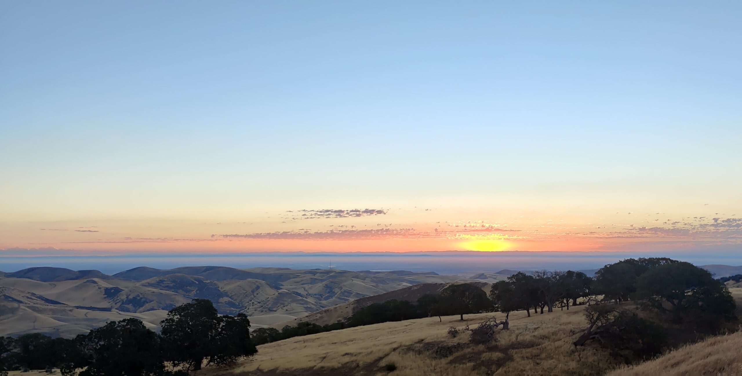
Welcome to the Alameda-Tesla Property, your future new State Park Unit! Because the site isn’t open to the public, we invite you to explore the property’s rich natural, cultural, and historical resources virtually. We hope you will let your imagination soar, as you envision how you would like to experience the site in person when it becomes a part of the California State Park System.
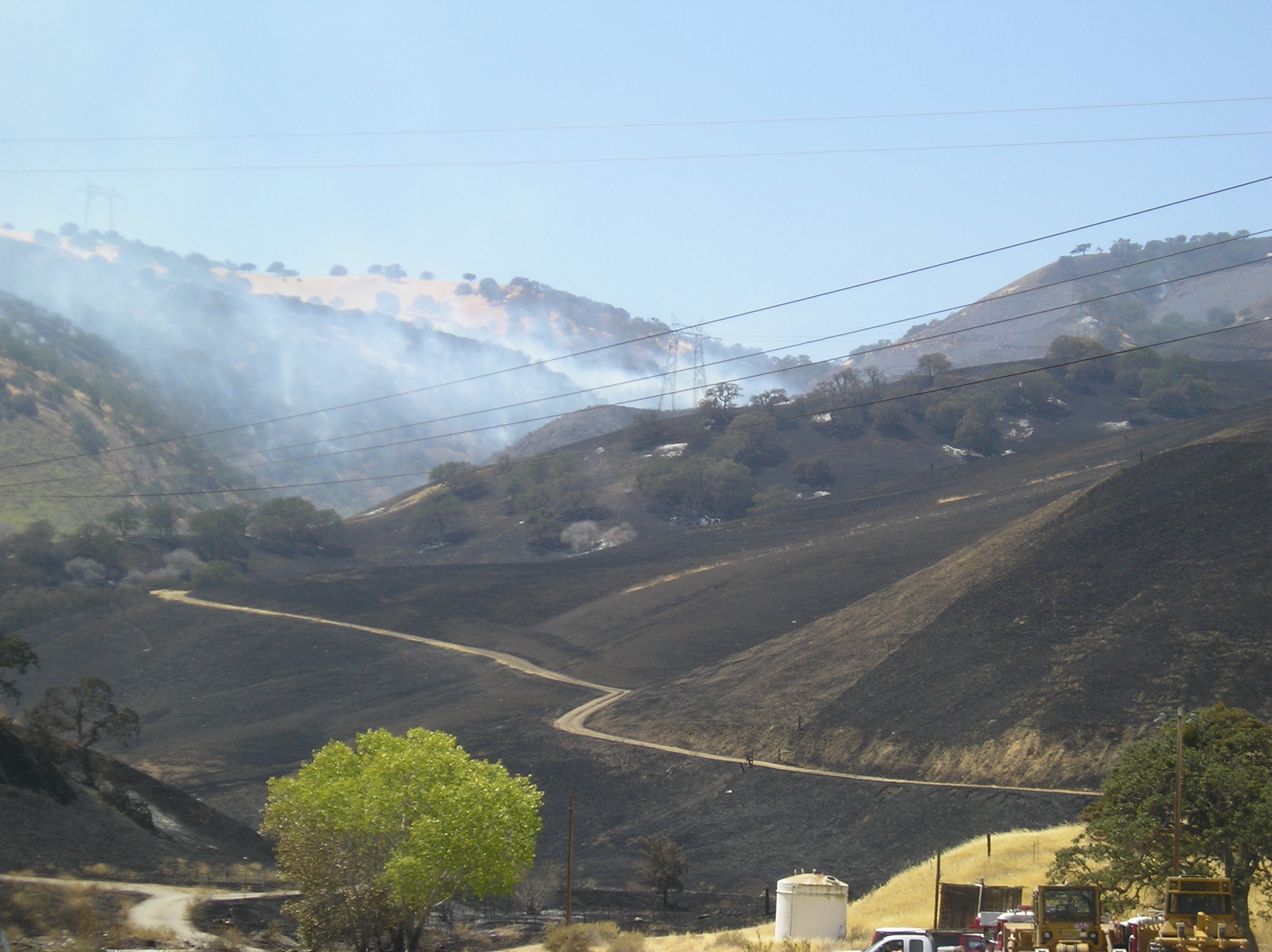
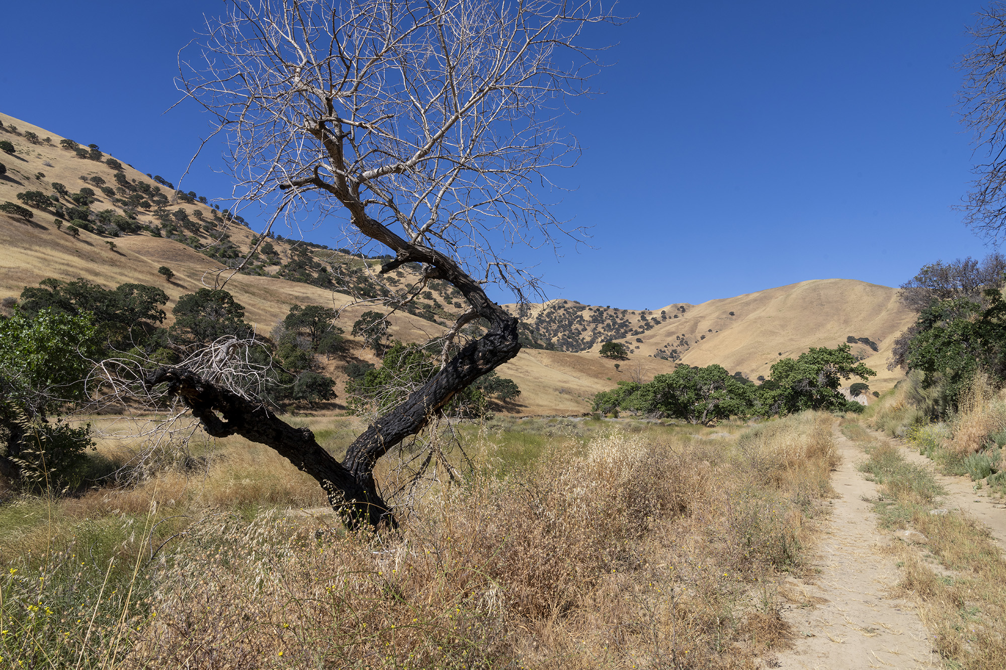
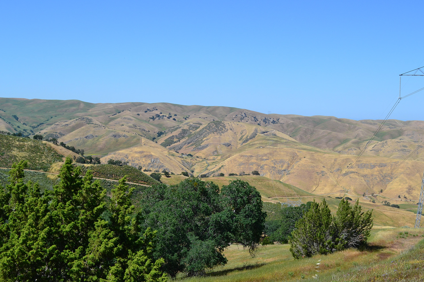
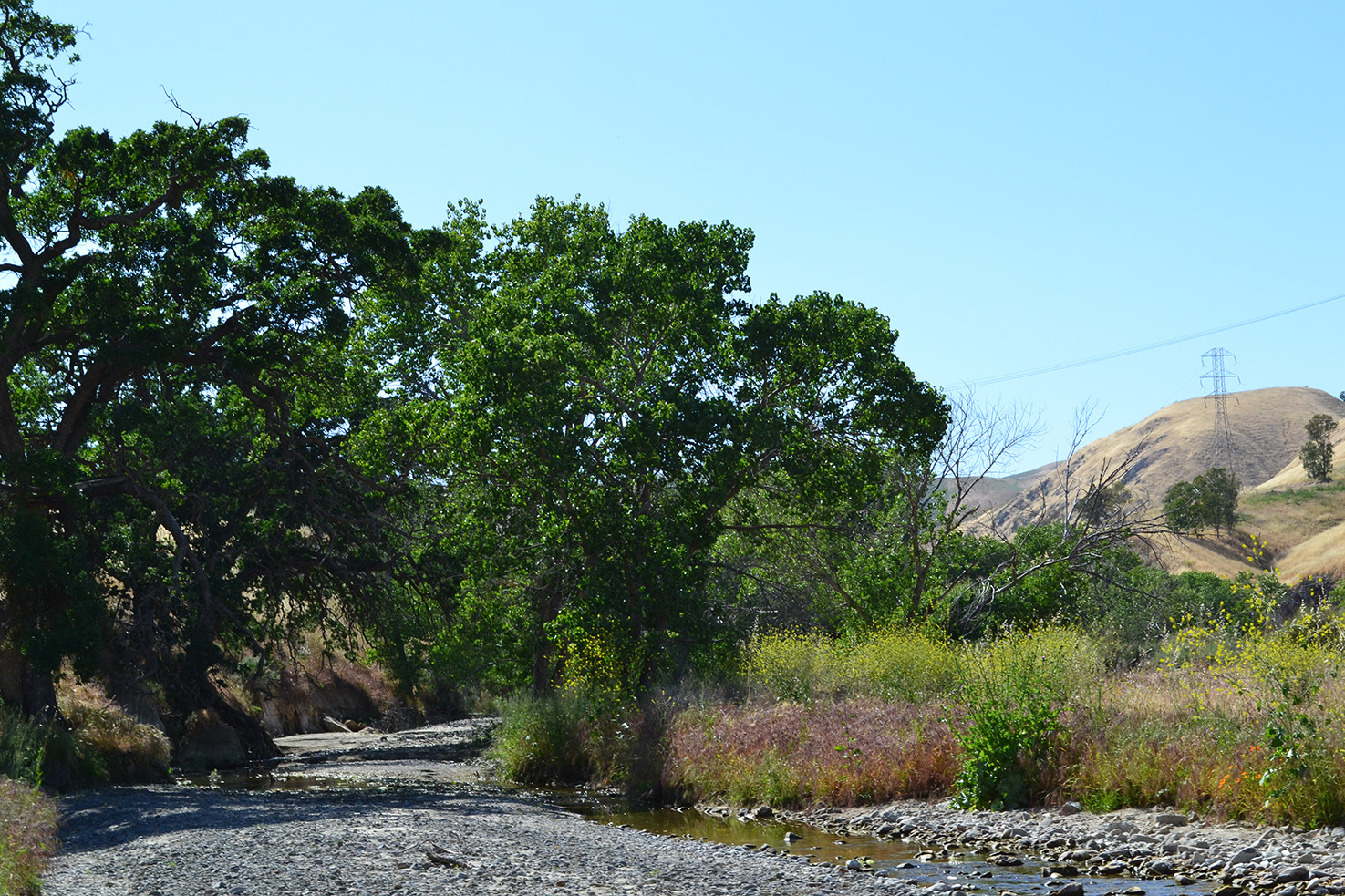
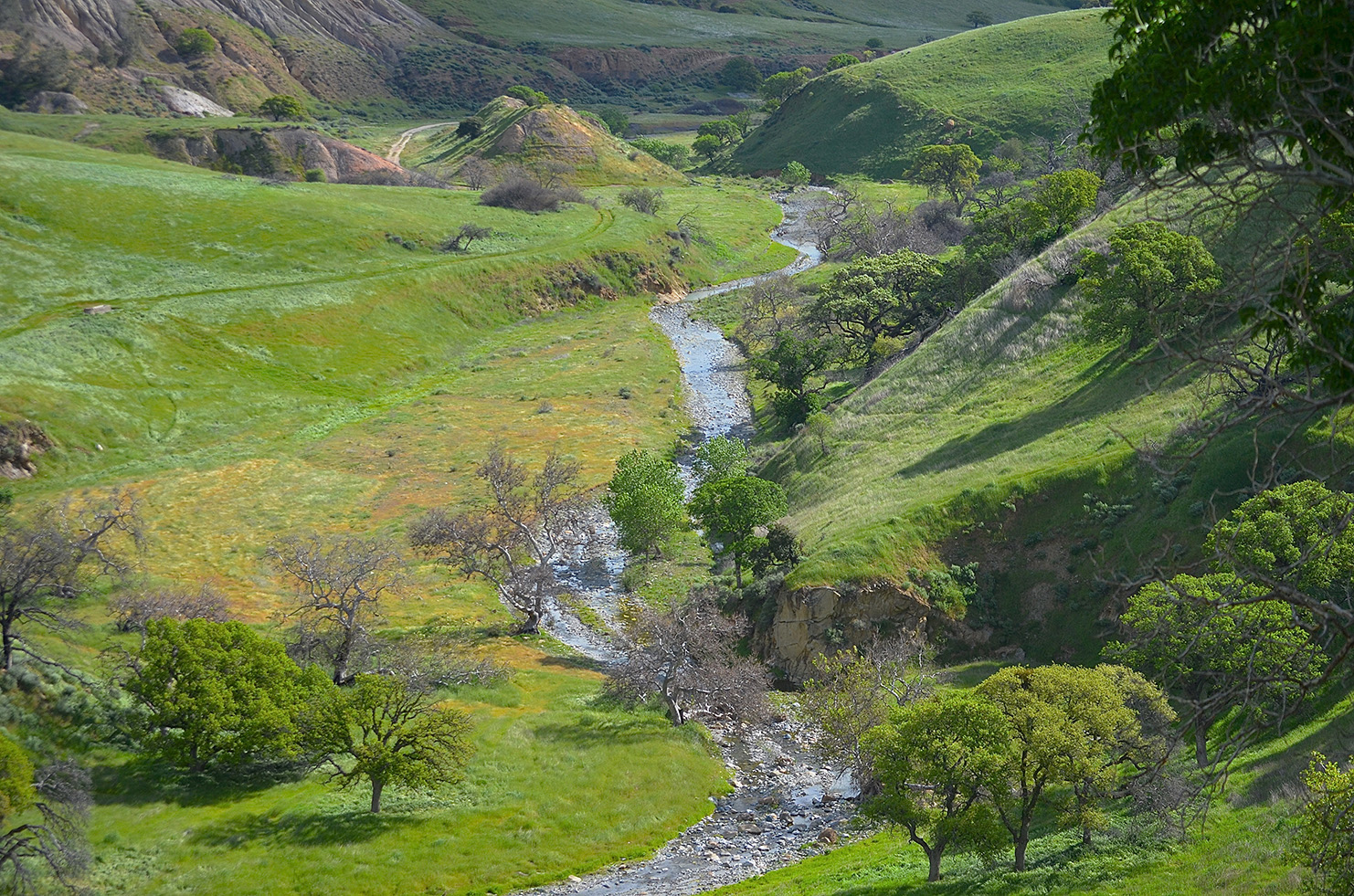
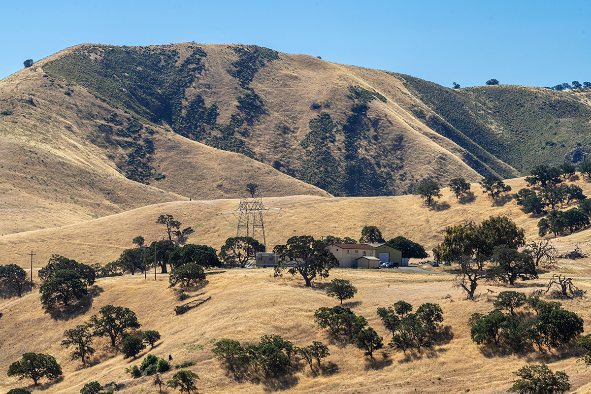
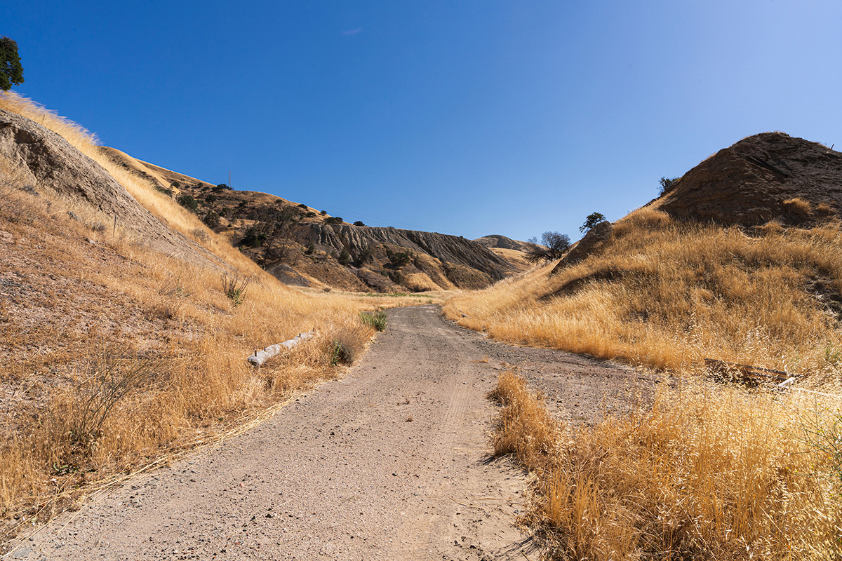
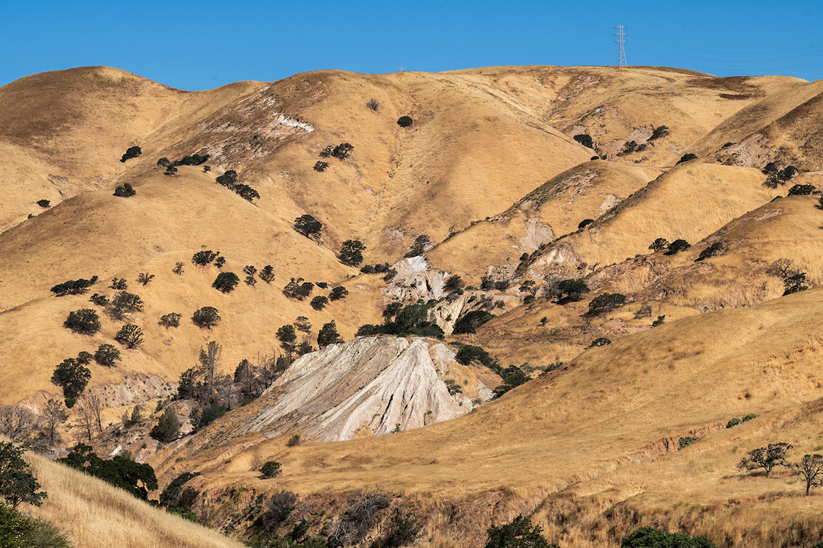
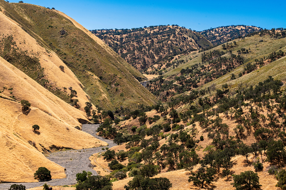
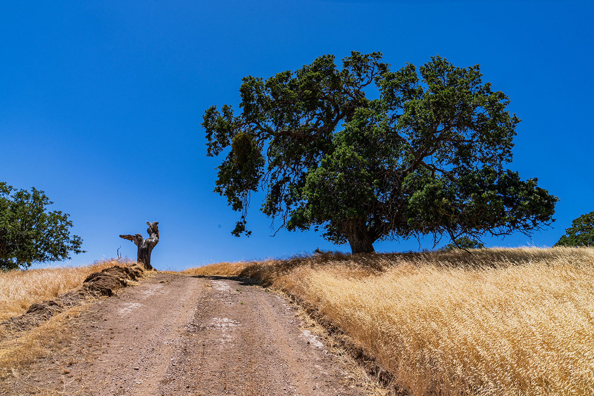
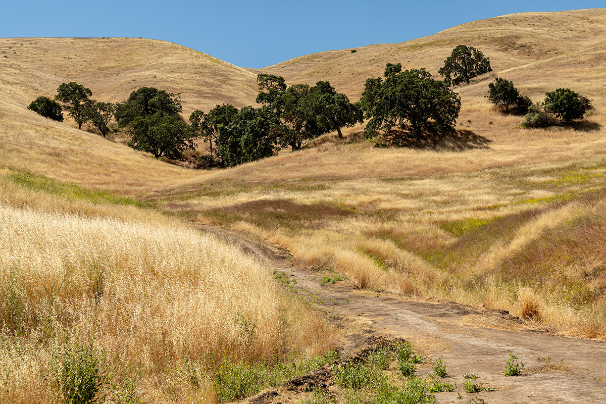
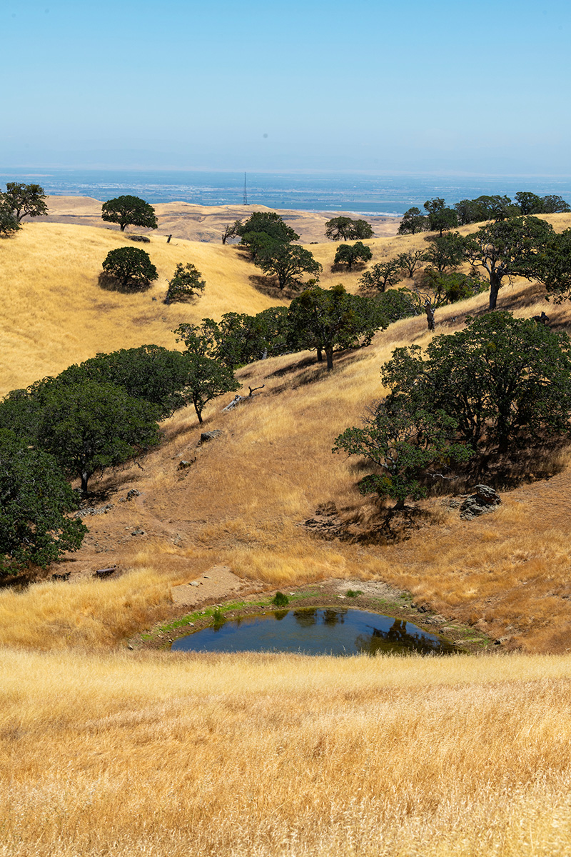
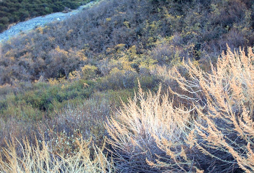
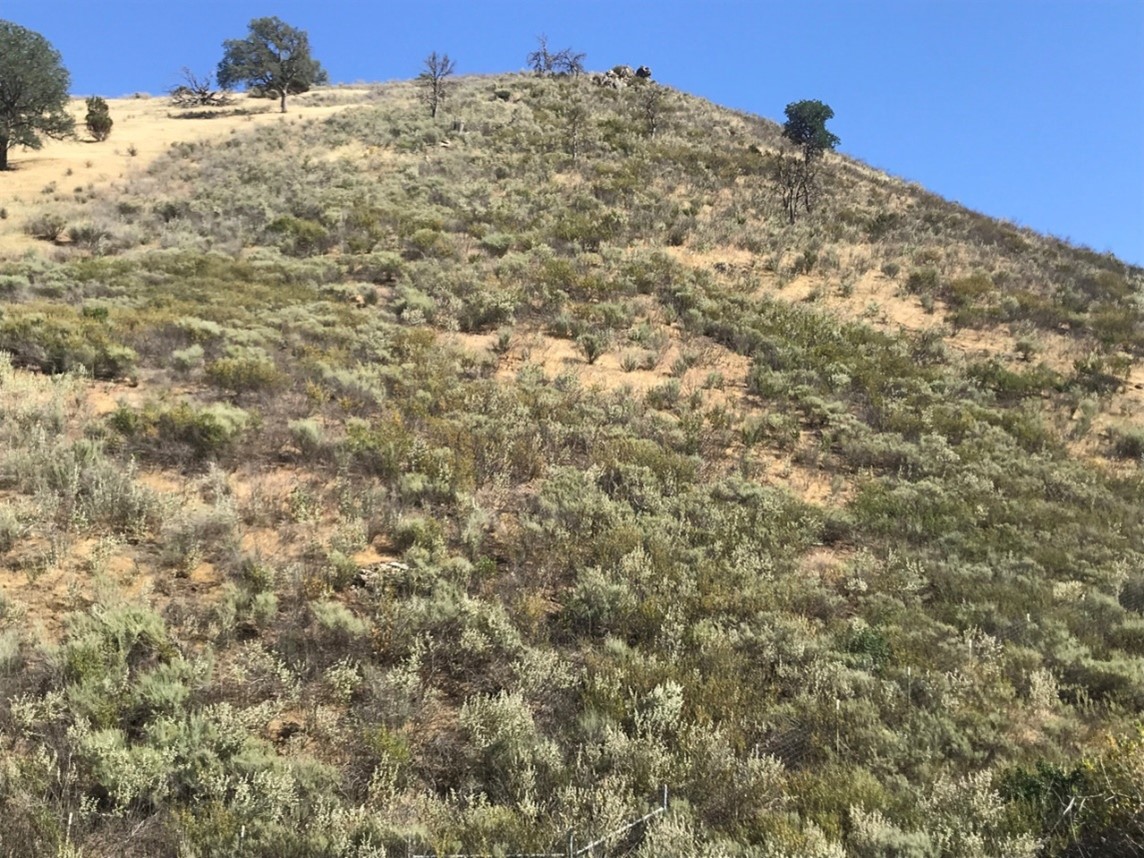
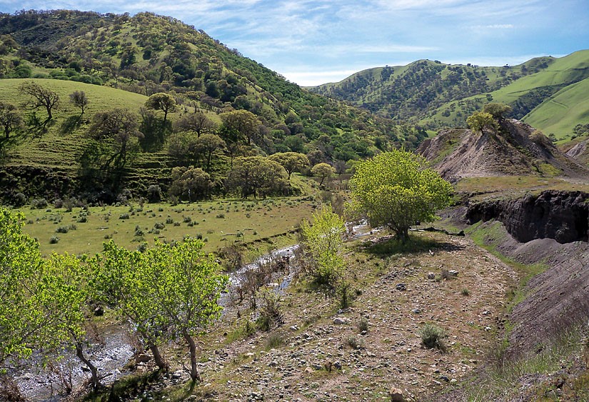
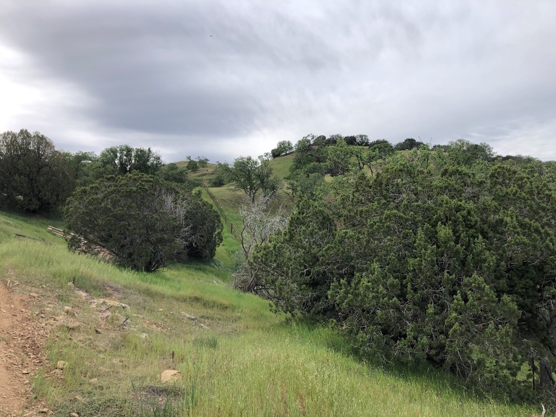
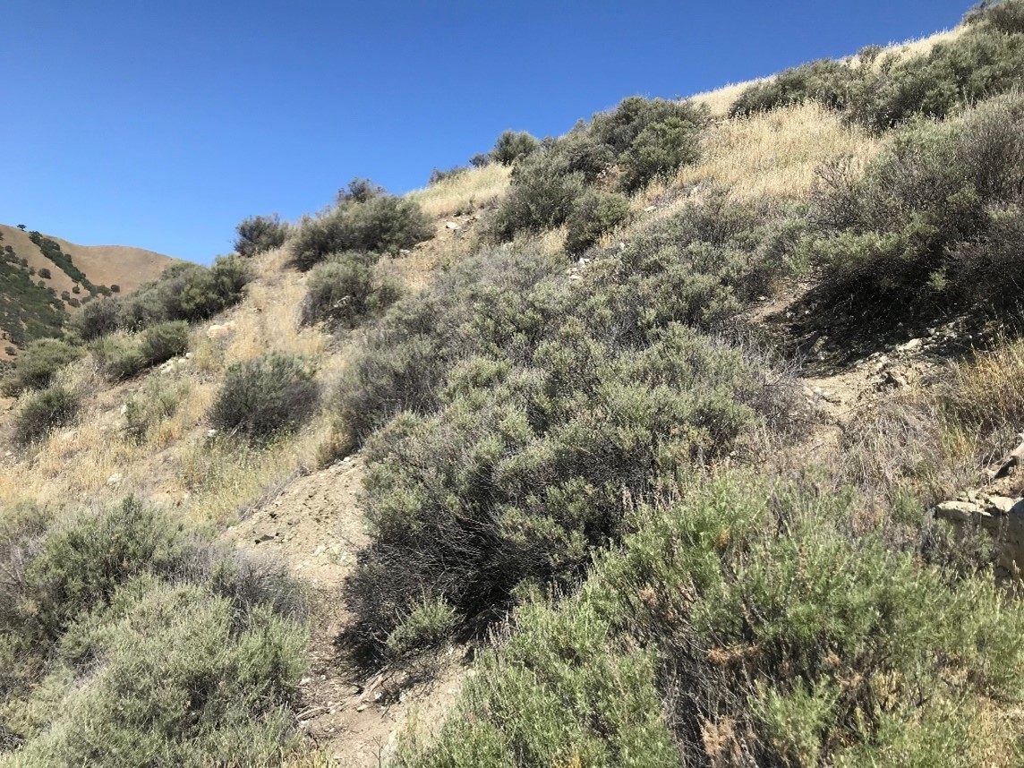
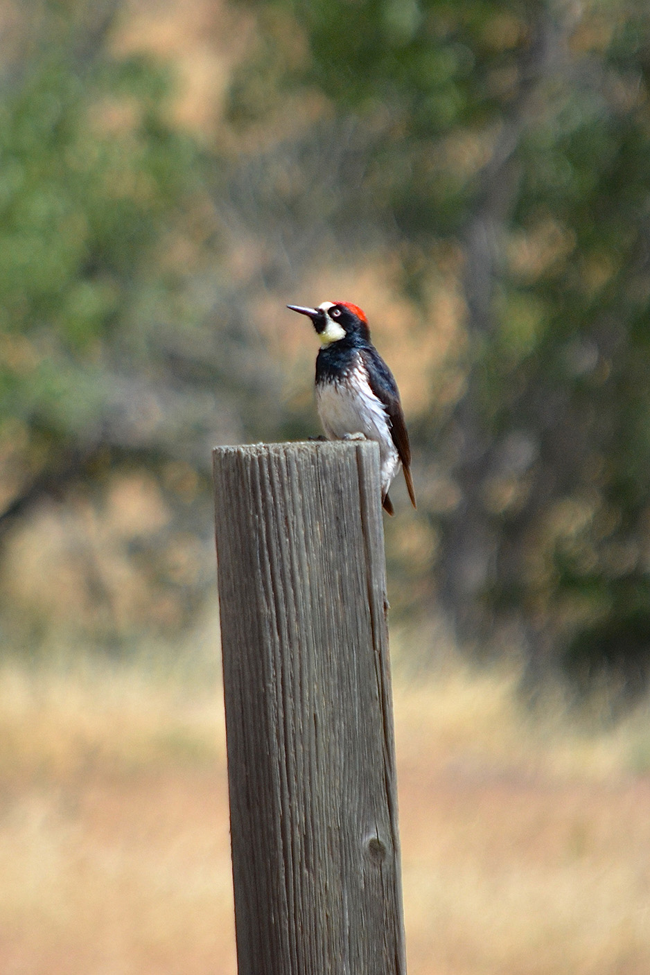
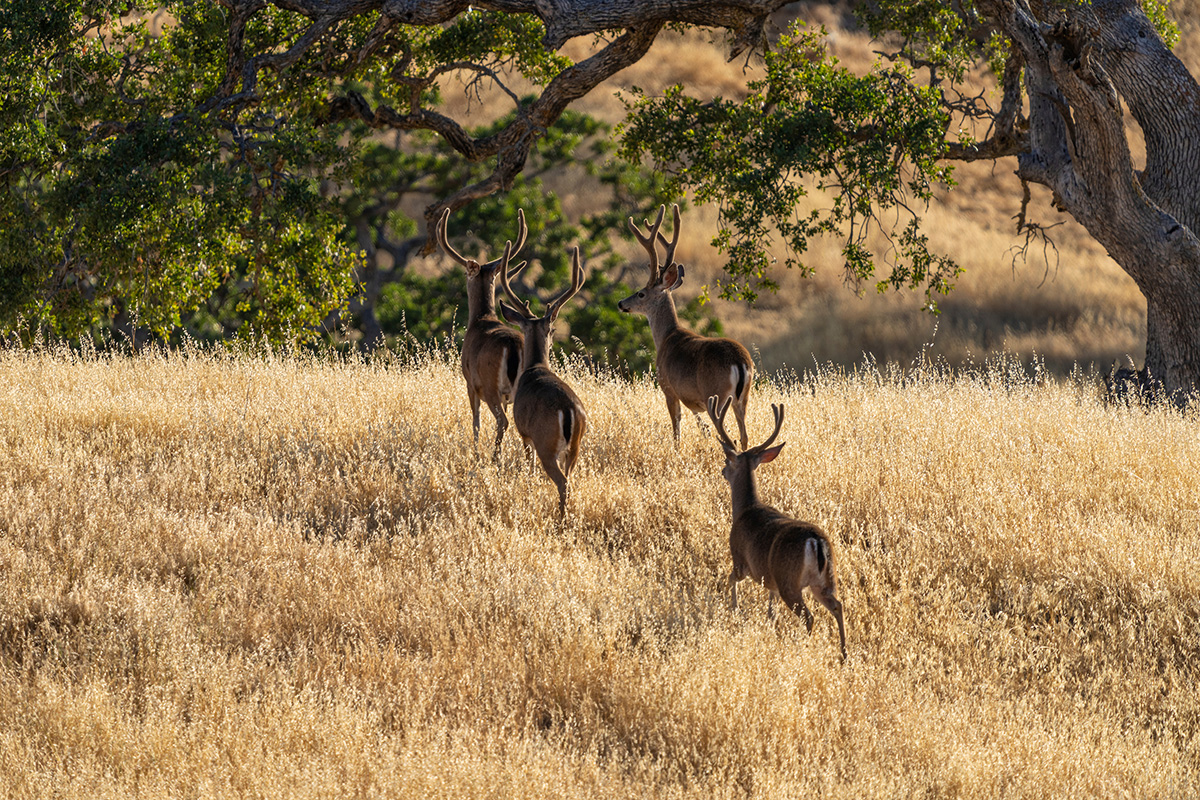
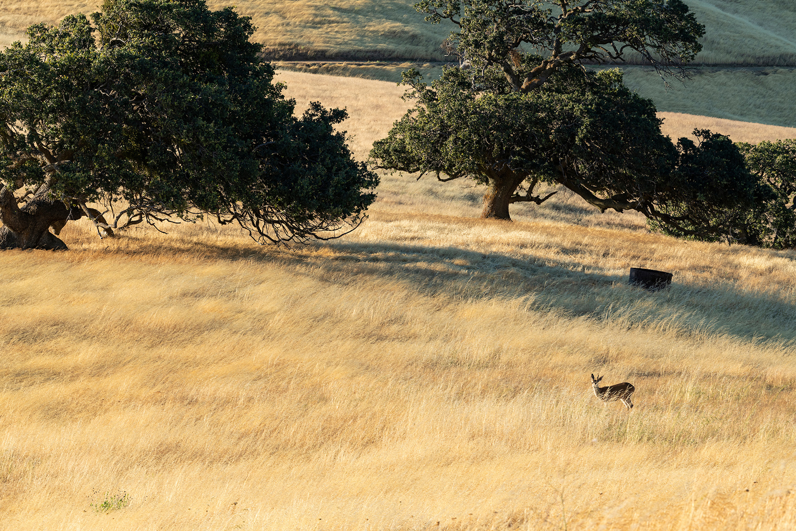
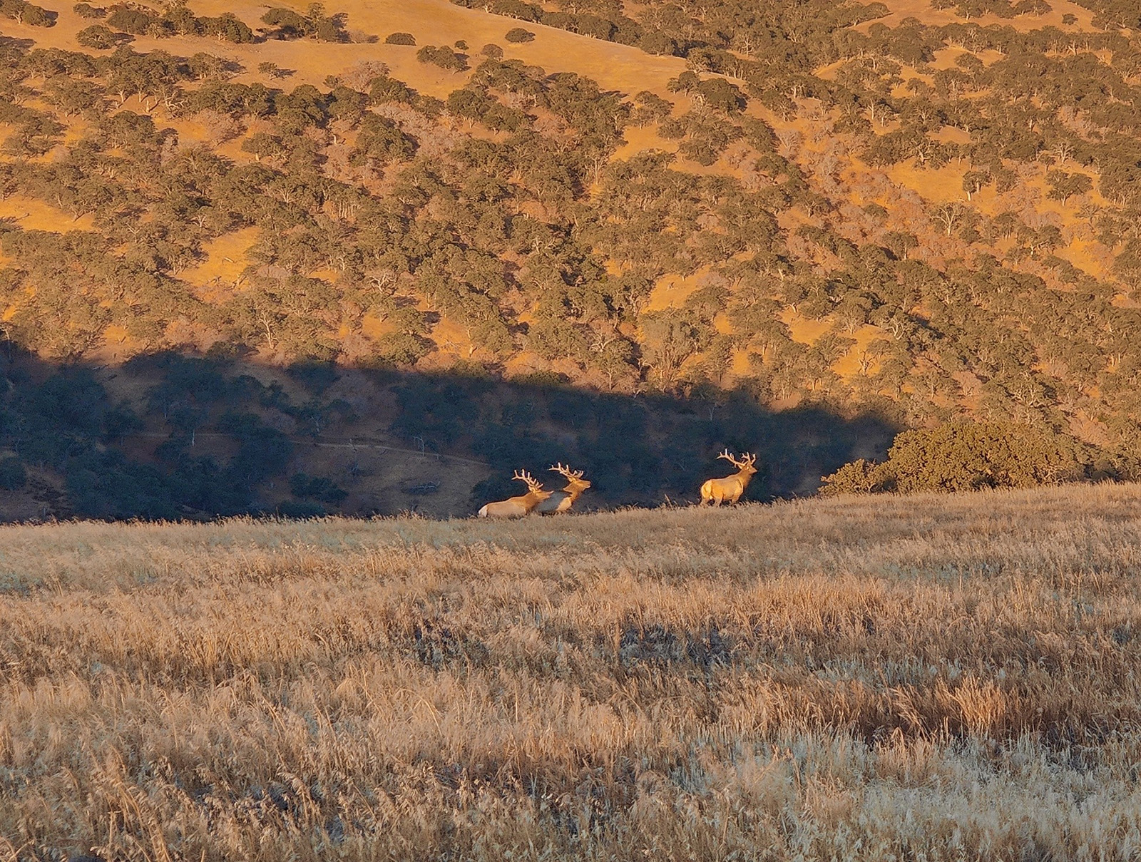
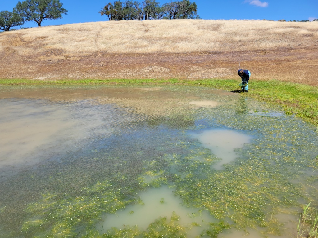
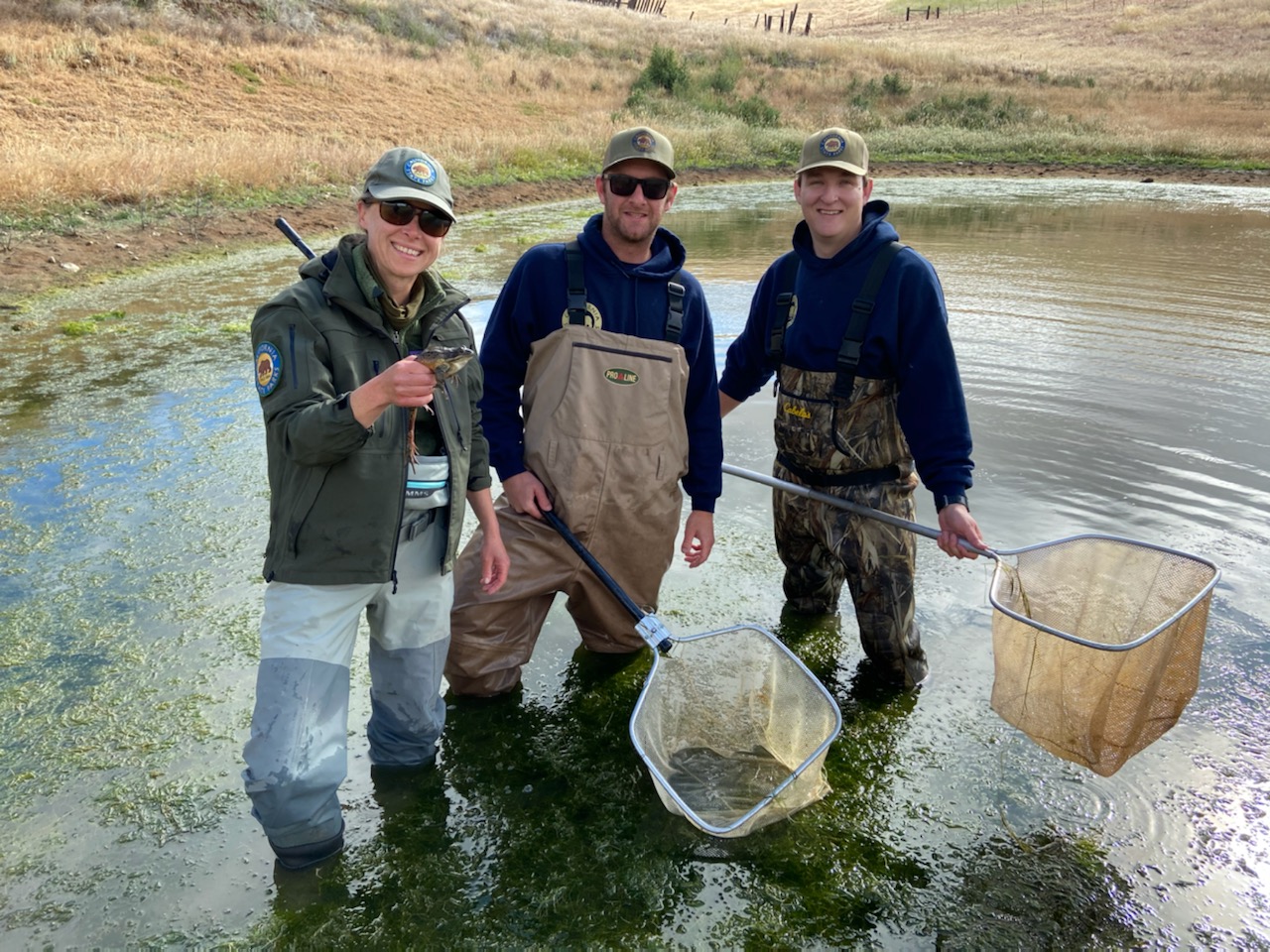
The Alameda-Tesla Property includes more than 3,000 acres of creeks, floodplains, valley, hills and rock outcroppings in eastern Alameda County. Corral Hollow Creek flows east into the San Joaquin Valley, while Arroyo Seco creek flows west toward the city of Livermore. A narrow floodplain corridor characterized by riparian habitat parallels Corral Hollow Creek on the south side of Corral Hollow Road/Tesla Road. The surrounding hills support a mosaic of grasslands, scrub, and woodland habitats. A variety of plants and animals, some of which are species of concern with special protections, have been documented at Alameda-Tesla.
Tesla Road, a paved two-lane road, defines one edge of the property, and several unpaved roads provide access for adjacent private property owners and utilities servicing the electrical transmission lines that cross the property. State Parks’ Diablo Range District Office and maintenance yard, and several park staff residences are located on the northwestern portion of the property.
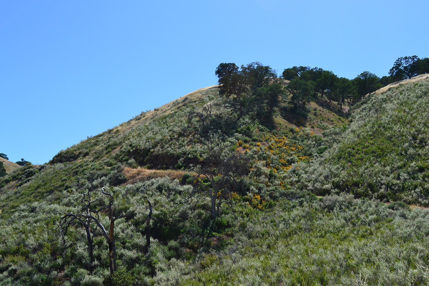
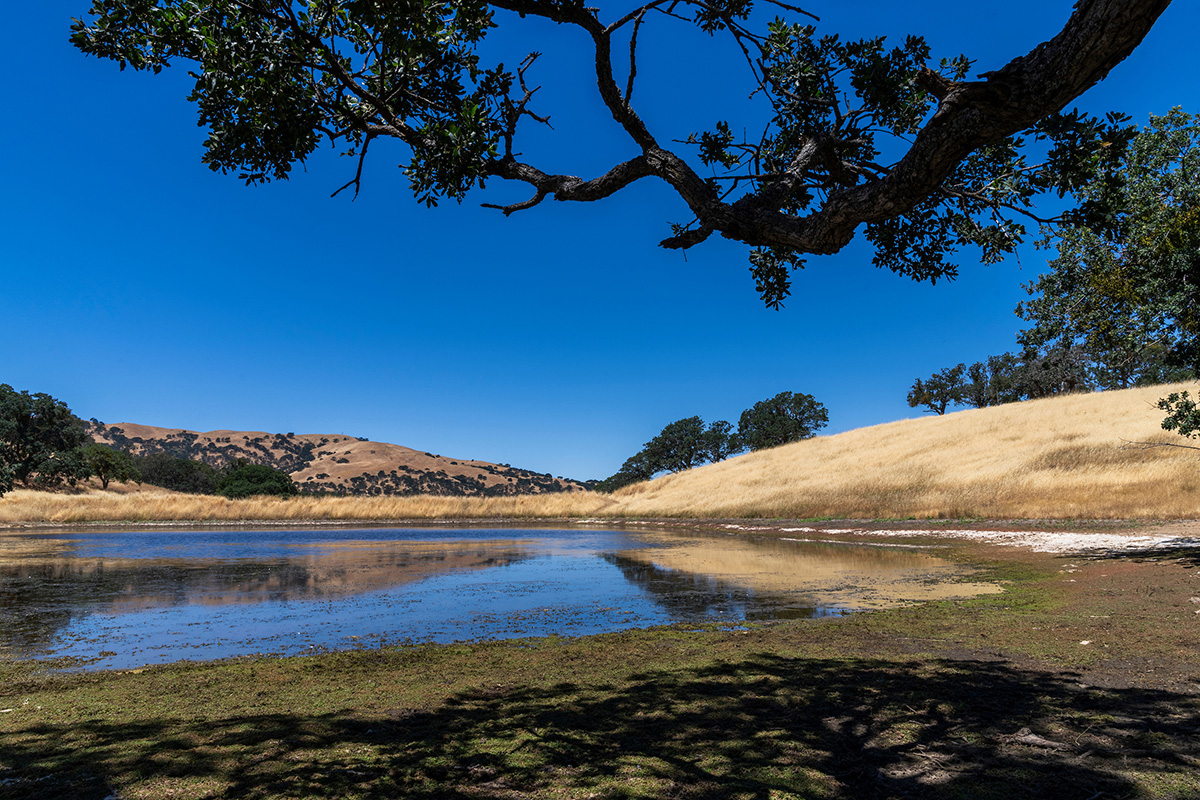
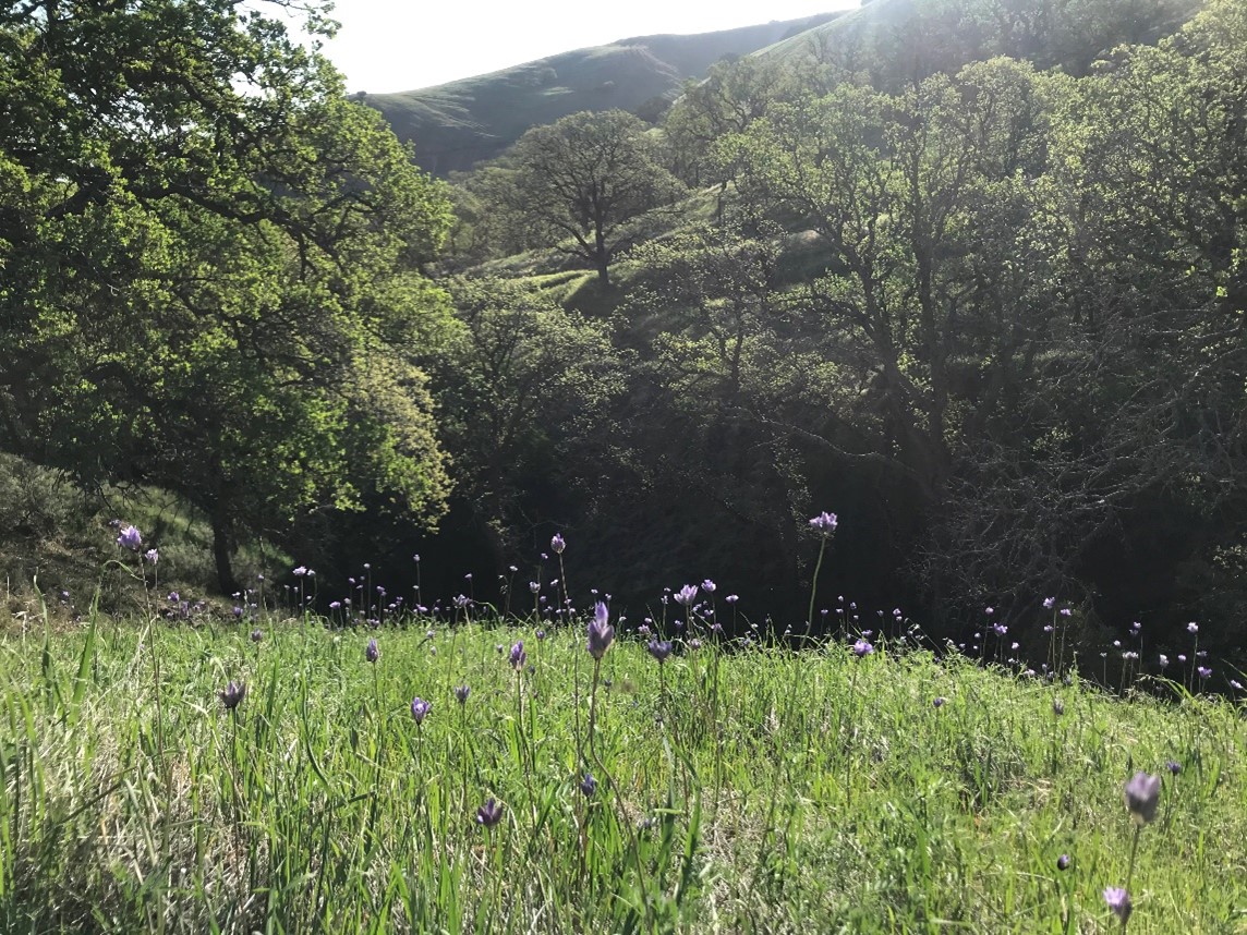
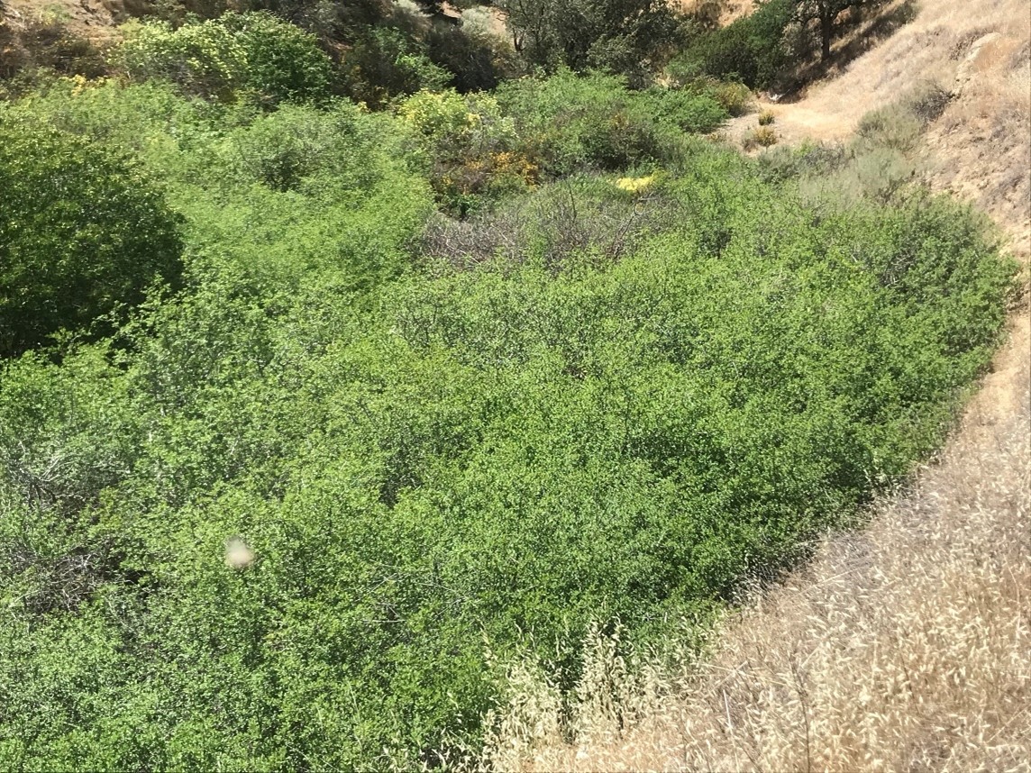
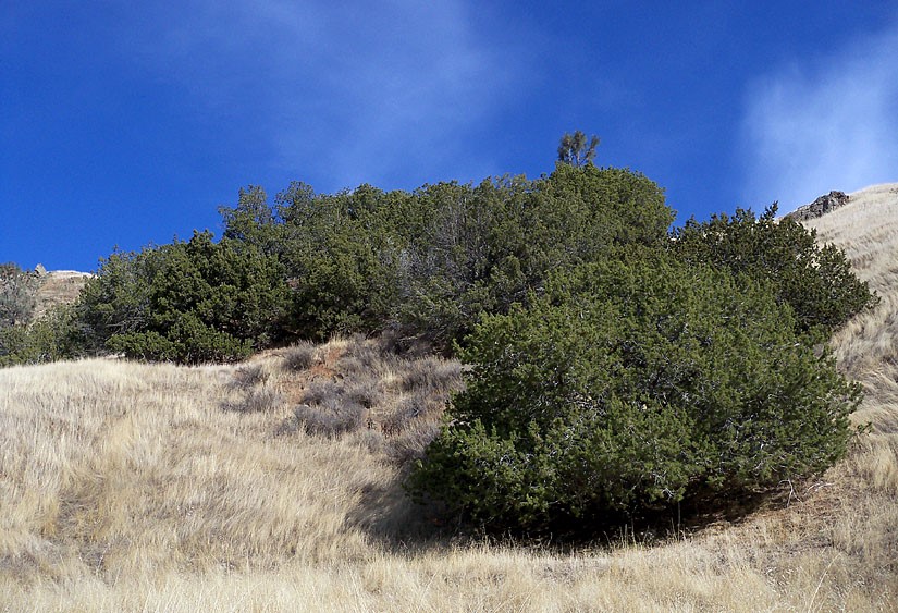
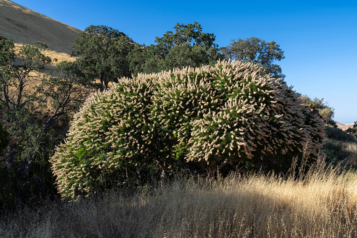
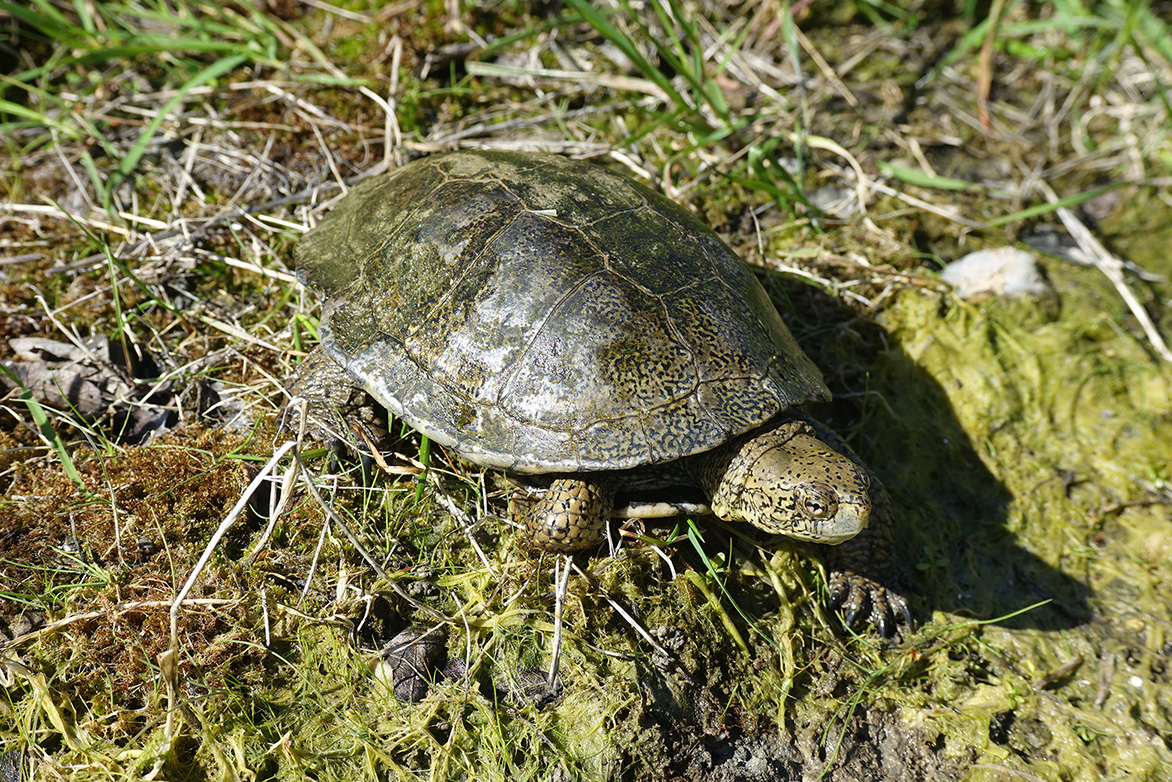
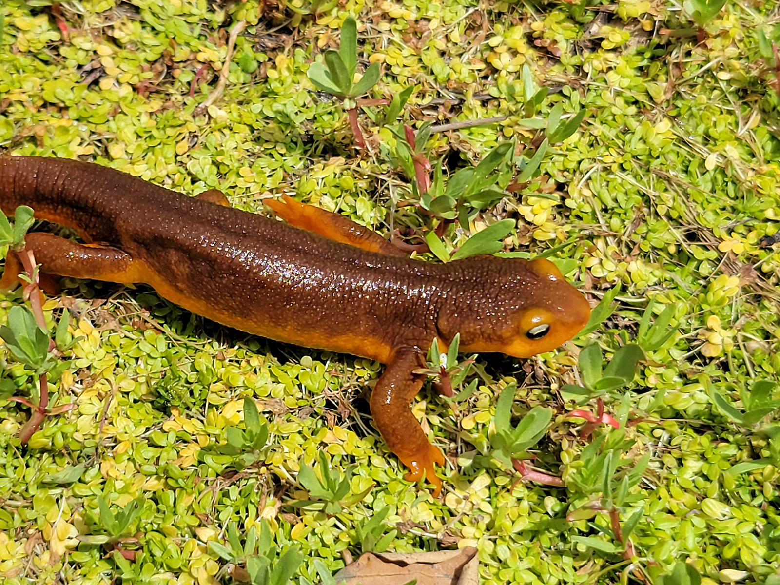
The Alameda-Tesla Property is a part of an ecologically-transitional area that straddles the Diablo Range and supports vegetation typical of both coast and inland communities. These vegetation types include Fremont cottonwood forest, blue oak woodland, valley oak woodland, California juniper woodland, ghost pine woodland, California sagebrush/black sage scrub, bush mallow scrub, mule fat thickets, patches of desert olive, choke cherry thickets, California native annual grasslands, and annual brome grassland. Creeks and stock ponds support wetland and aquatic communities at numerous locations throughout the site.
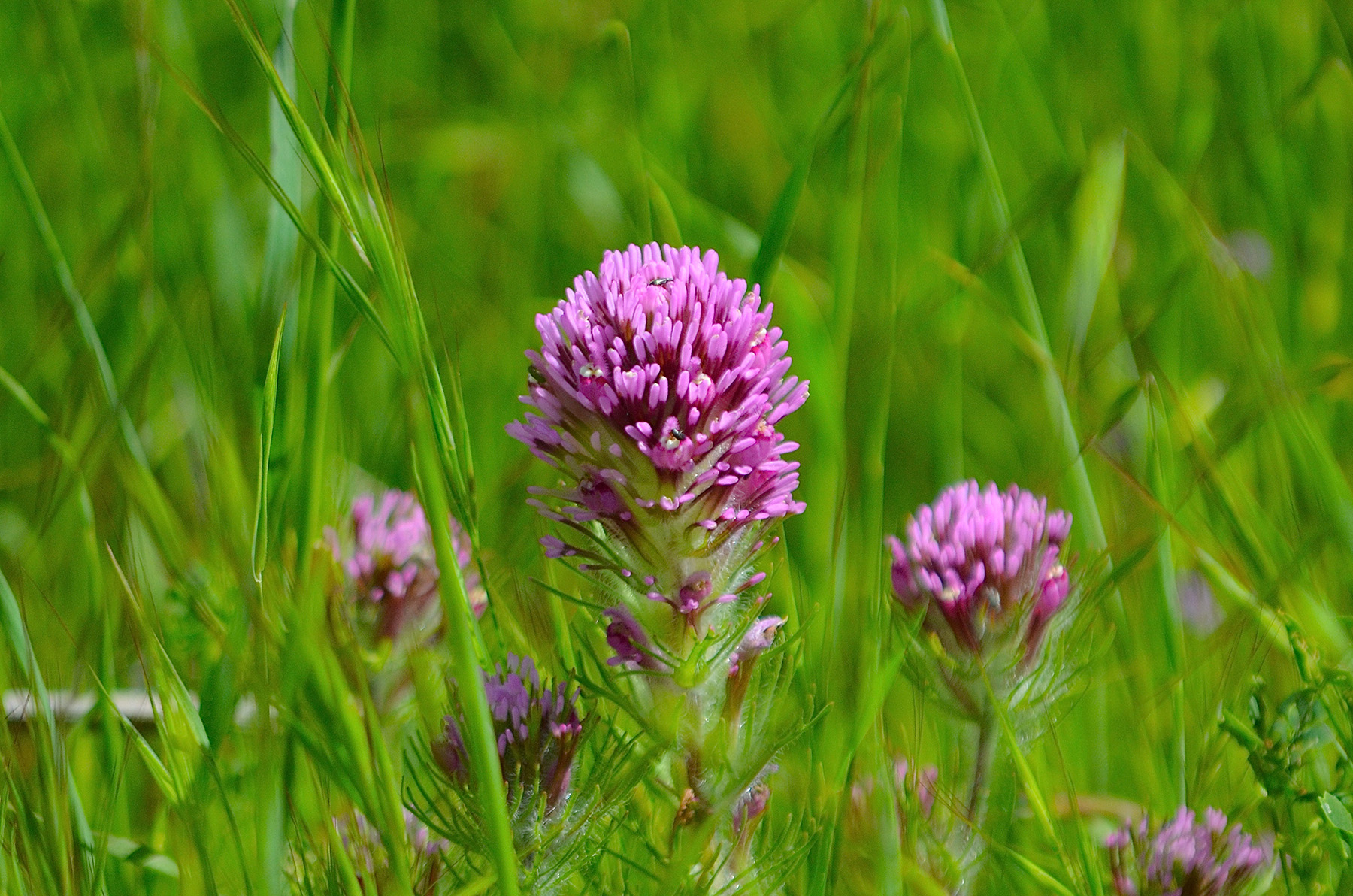
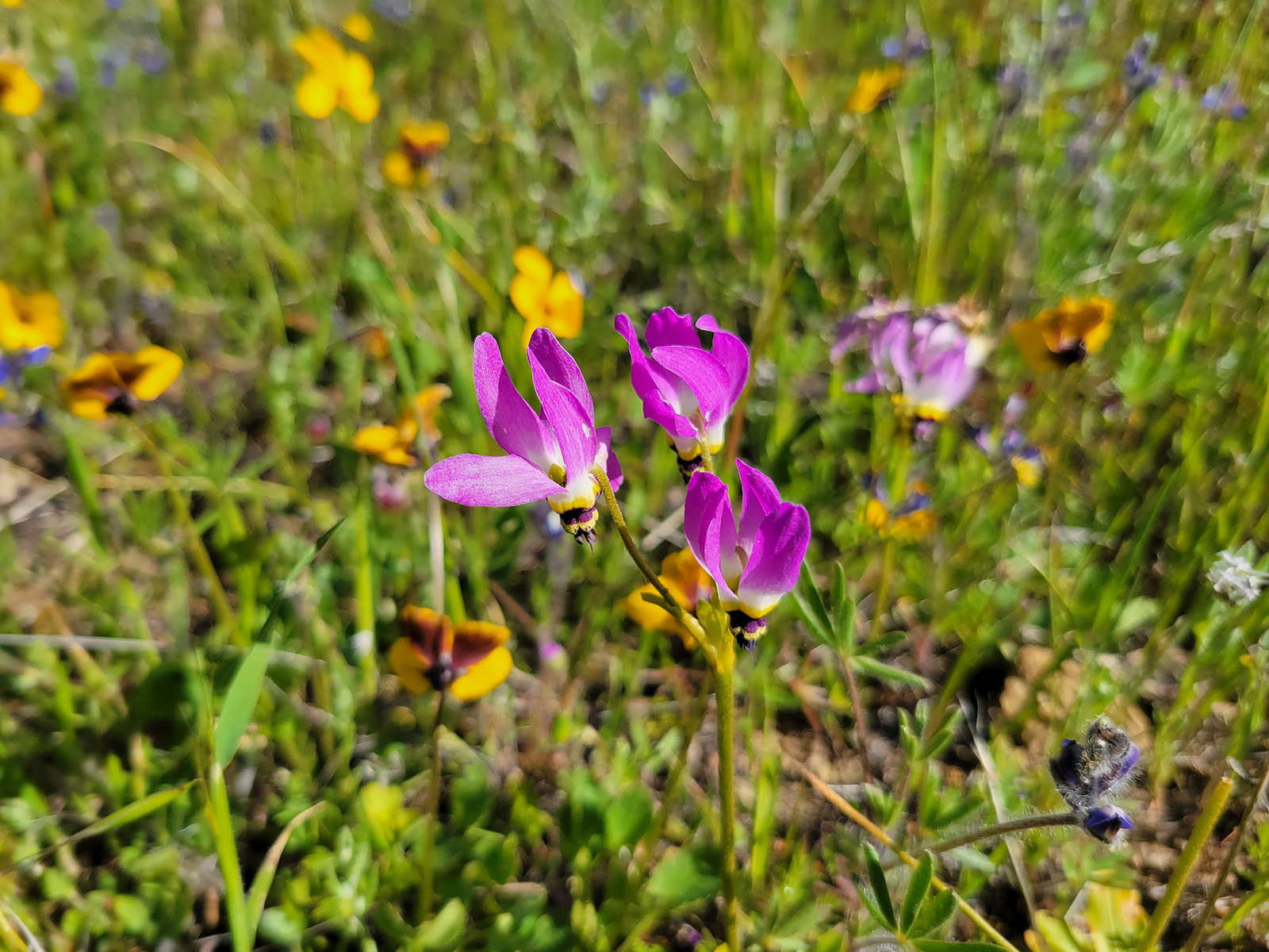
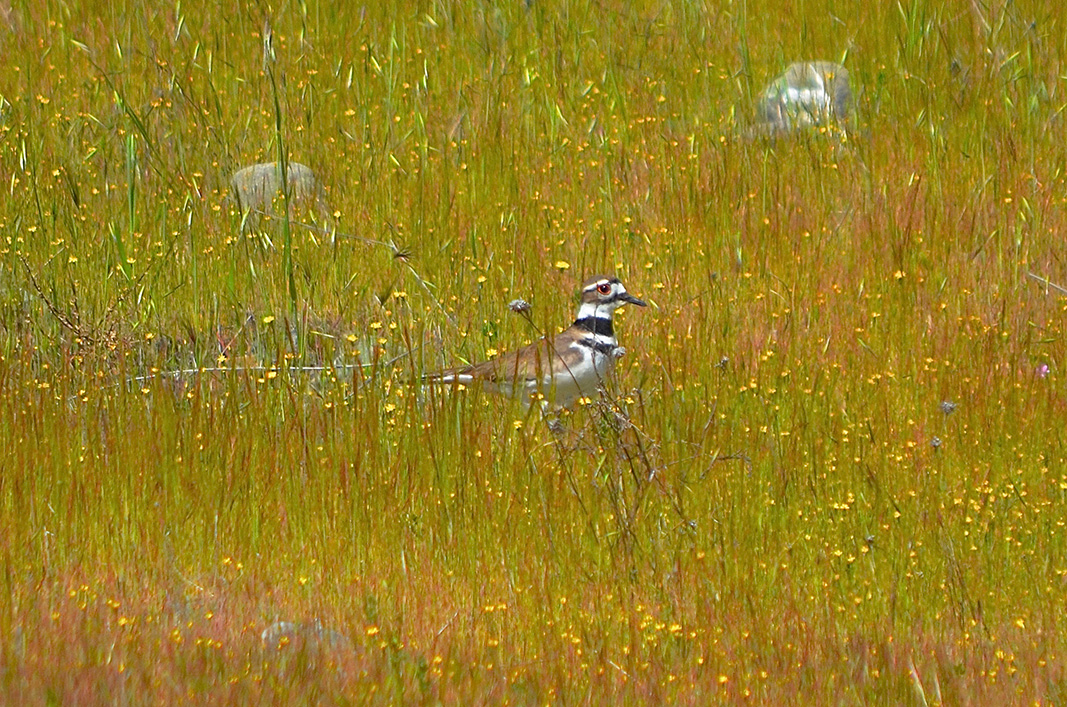
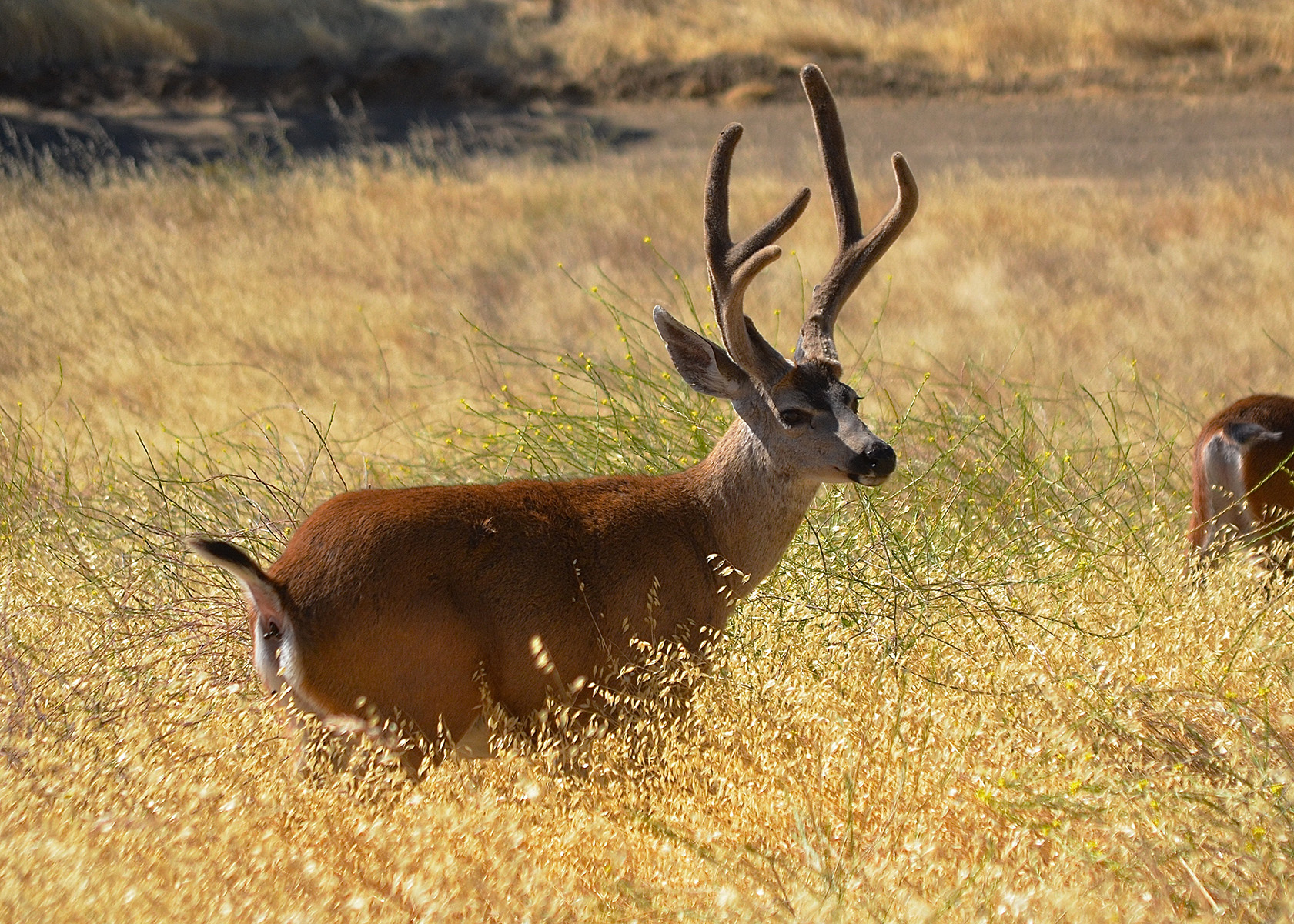
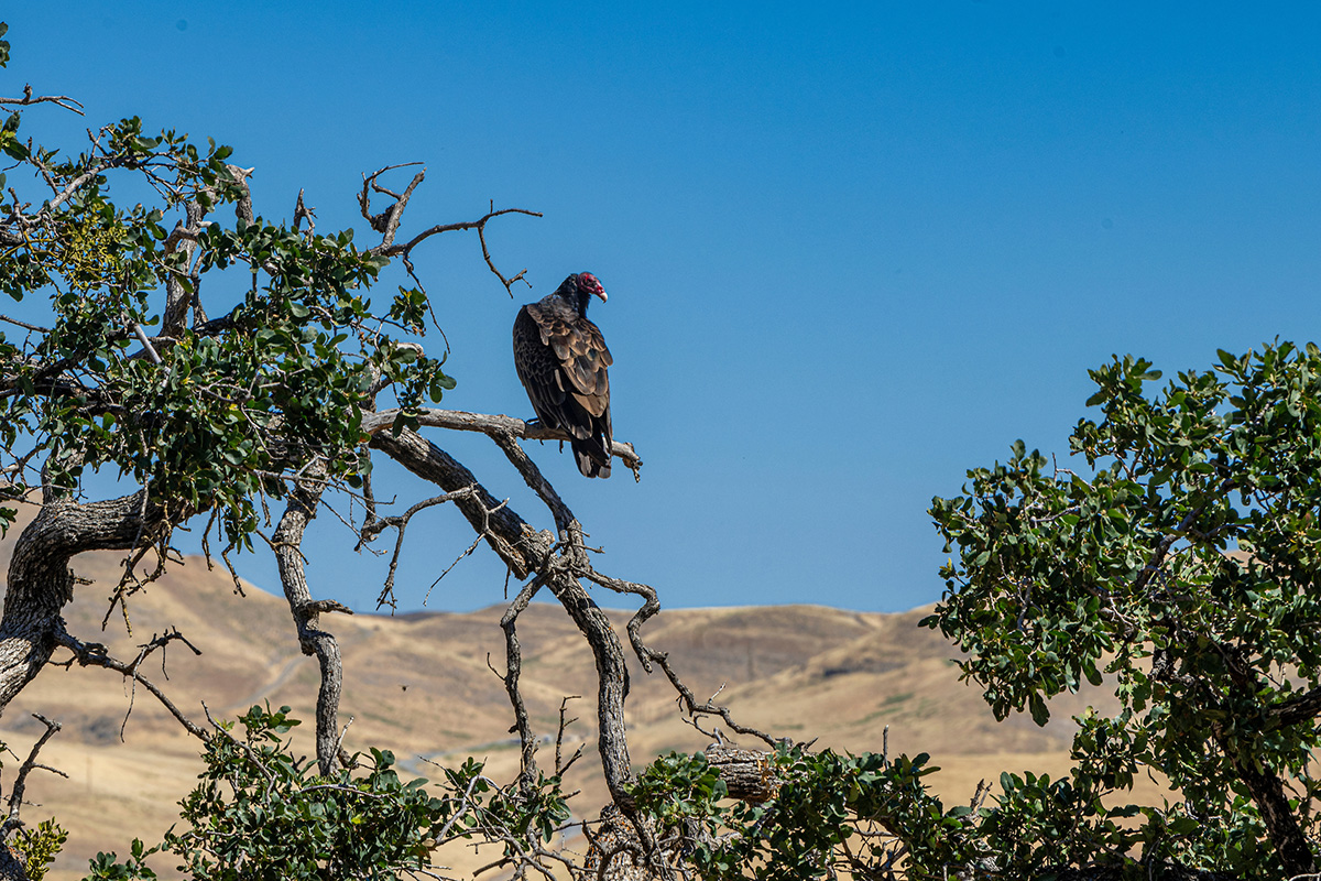
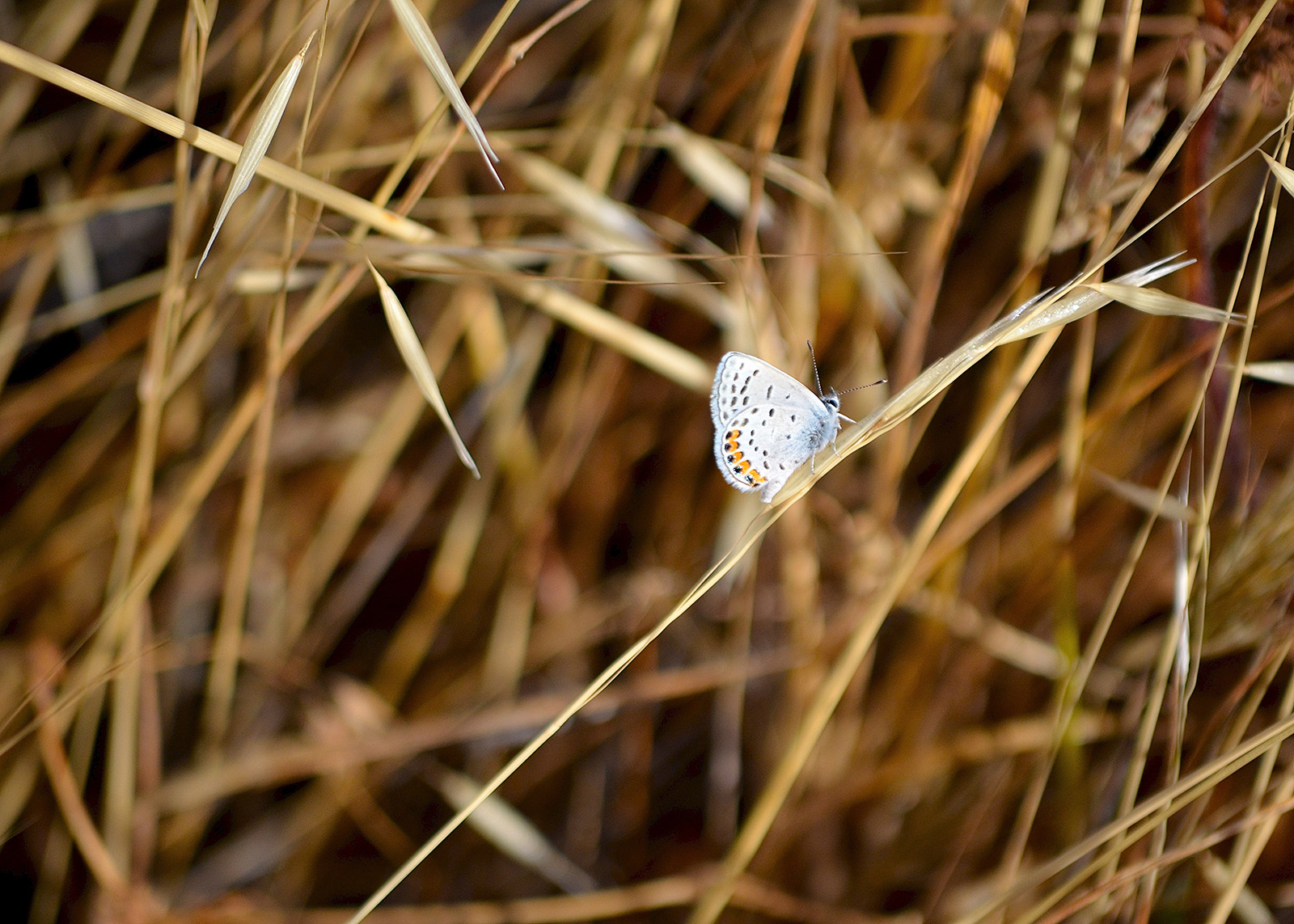
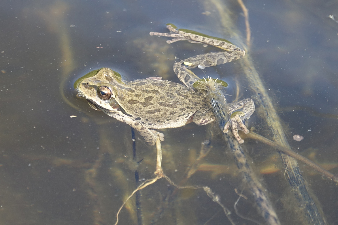
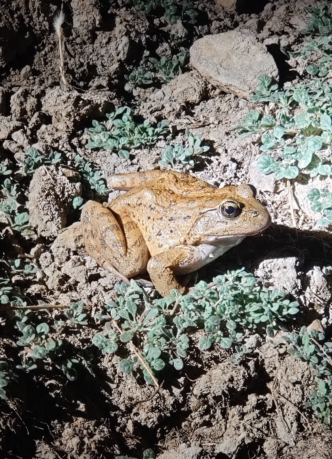
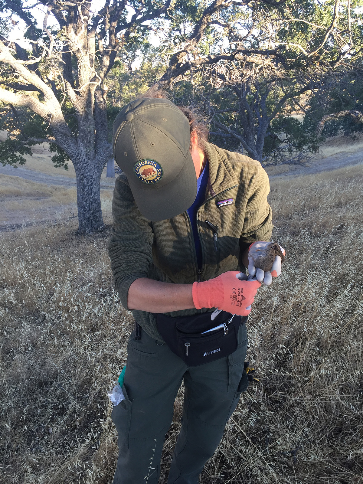
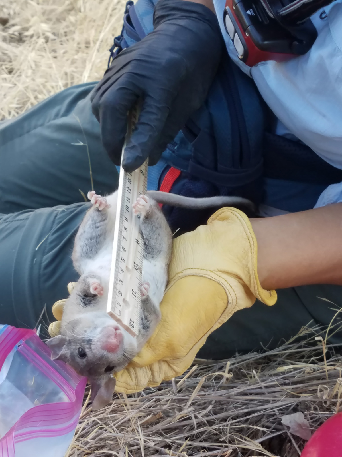
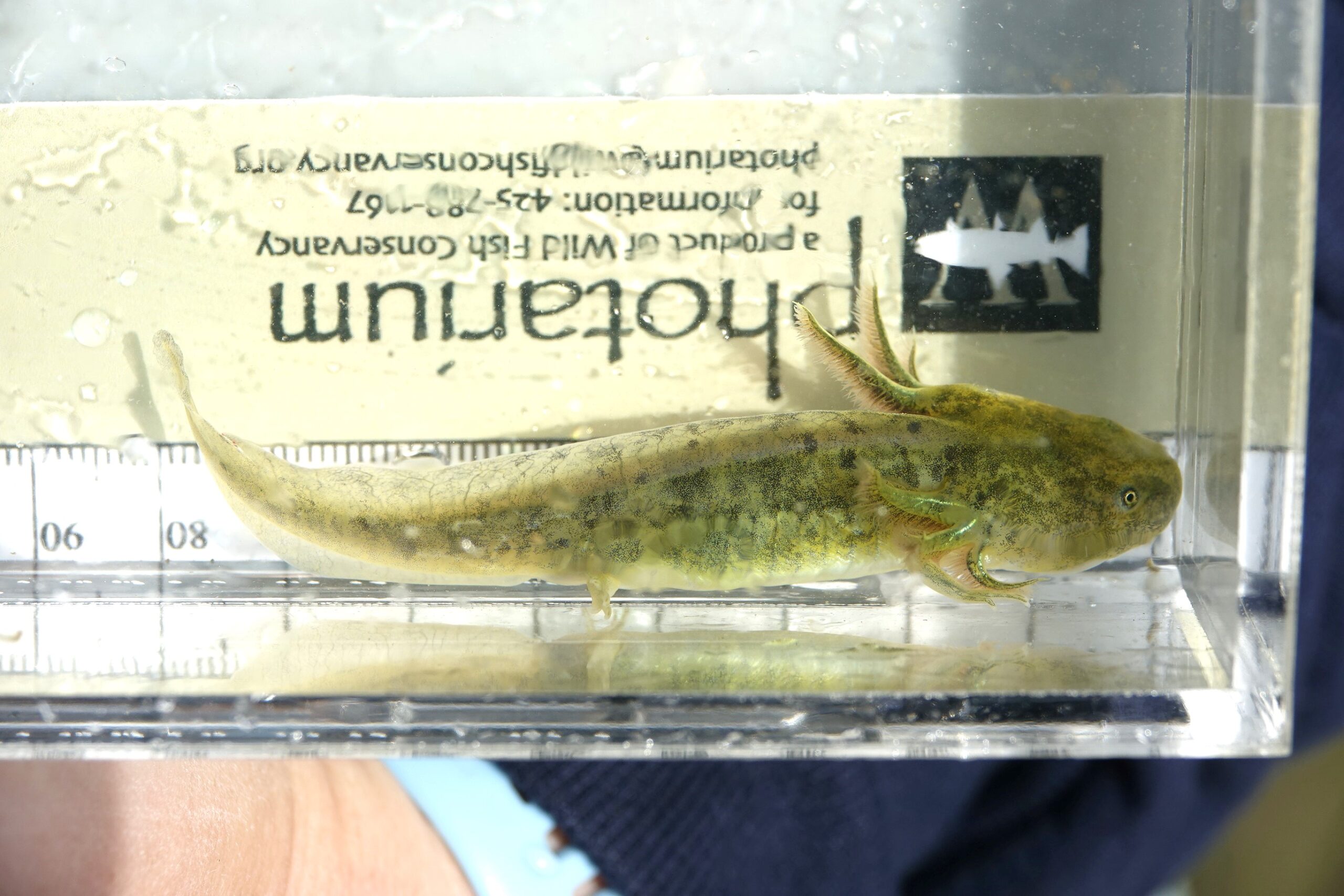
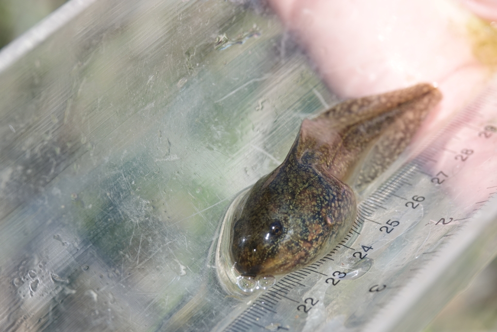
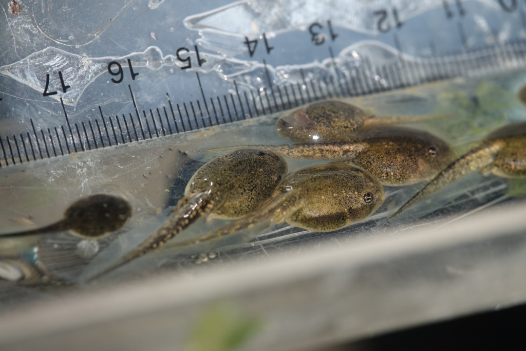
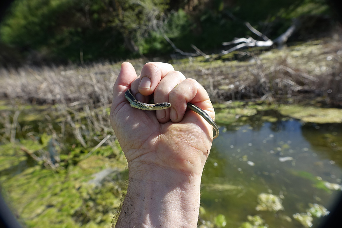
The property contains designated critical habitat for two endangered species, the Alameda whipsnake and the California red-legged frog. Species of concern found on the property include over a dozen plant species and more than twenty animal species (reptiles, amphibians, mammals, and birds). A diversity of more common species also inhabit the property, including those that quickly catch the eye, like bright green cottonwood trees and circling turkey vultures, and those that only appear occasionally, like spring wildflowers and shy black-tailed deer.
The Alameda-Tesla property is located in the Diablo Range, which is generally considered the approximate boundary between the Native American people of the Northern Valley Yokuts and the Ohlone. Evidence of Native American settlement has been documented in multiple locations in and near the Alameda-Tesla property.
For more information, visit the Digital Atlas of California Native Americans.
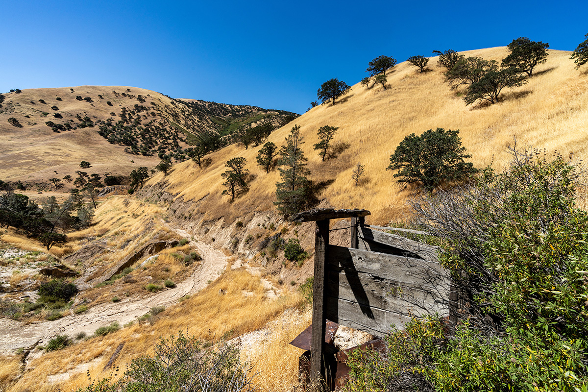
In 1775, European explorers led by Juan Bautista de Anza passed through Corral Hollow Canyon, which includes the Alameda-Tesla property, on the historical expedition to Alta California. In the years that followed until 1998 when State Parks purchased the site, the property was used for an array of industrial and ranching activities.
The timeline below is based on the work of Dan Mosier and Earle Williams in History of Tesla: A California Coal Mining Town.
European settlers arrived in Corral Hollow Canyon and developed a supply post for gold-seekers as well as the Tuolumne Mines. Ranching efforts began at this time with the corralling of wild mustangs and establishment of a sheep ranch.
Multiple mining operations within Corral Hollow Valley ended in 1866 when lower-priced foreign coal flooded the market. In the subsequent 24 years, the mining site sat idle and sheep ranching was the main economic activity within the area.
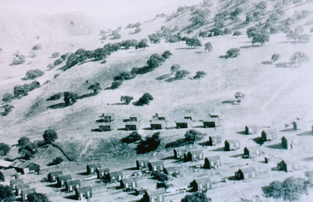
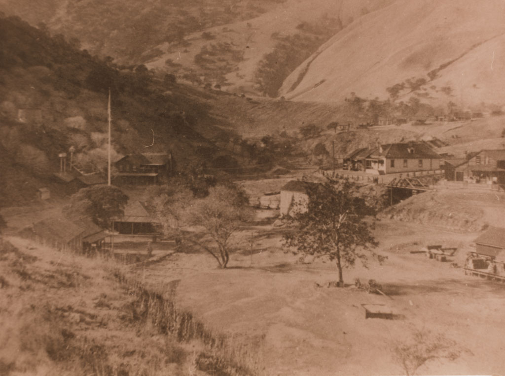
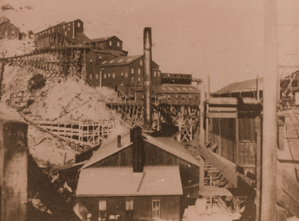
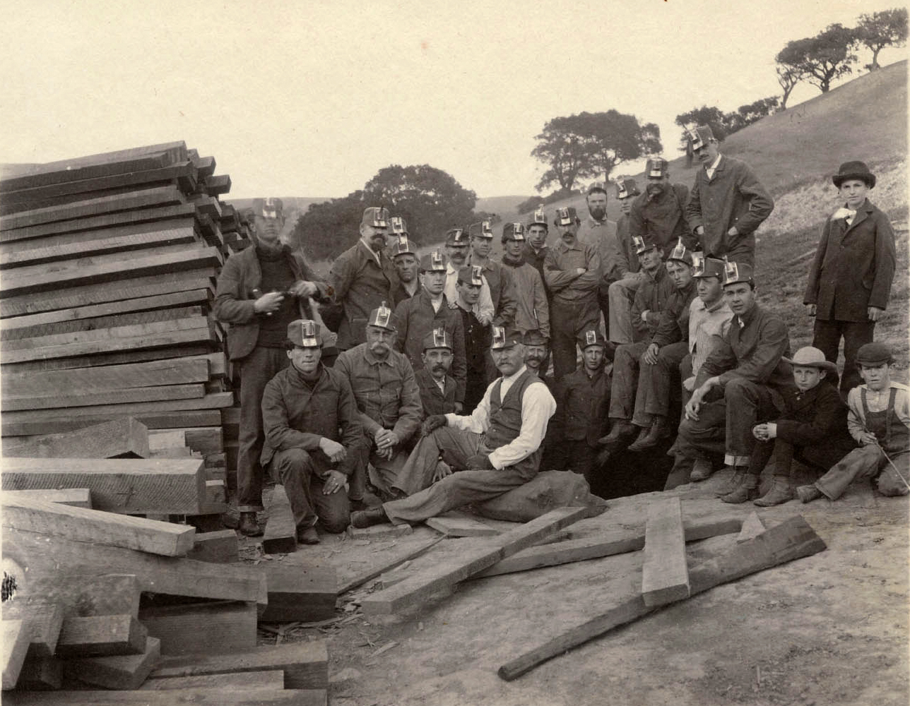
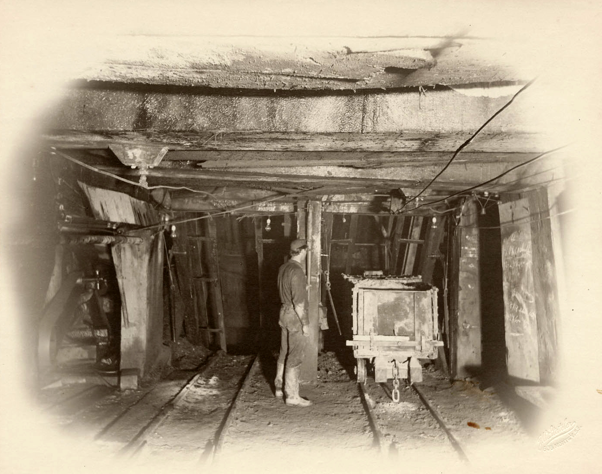
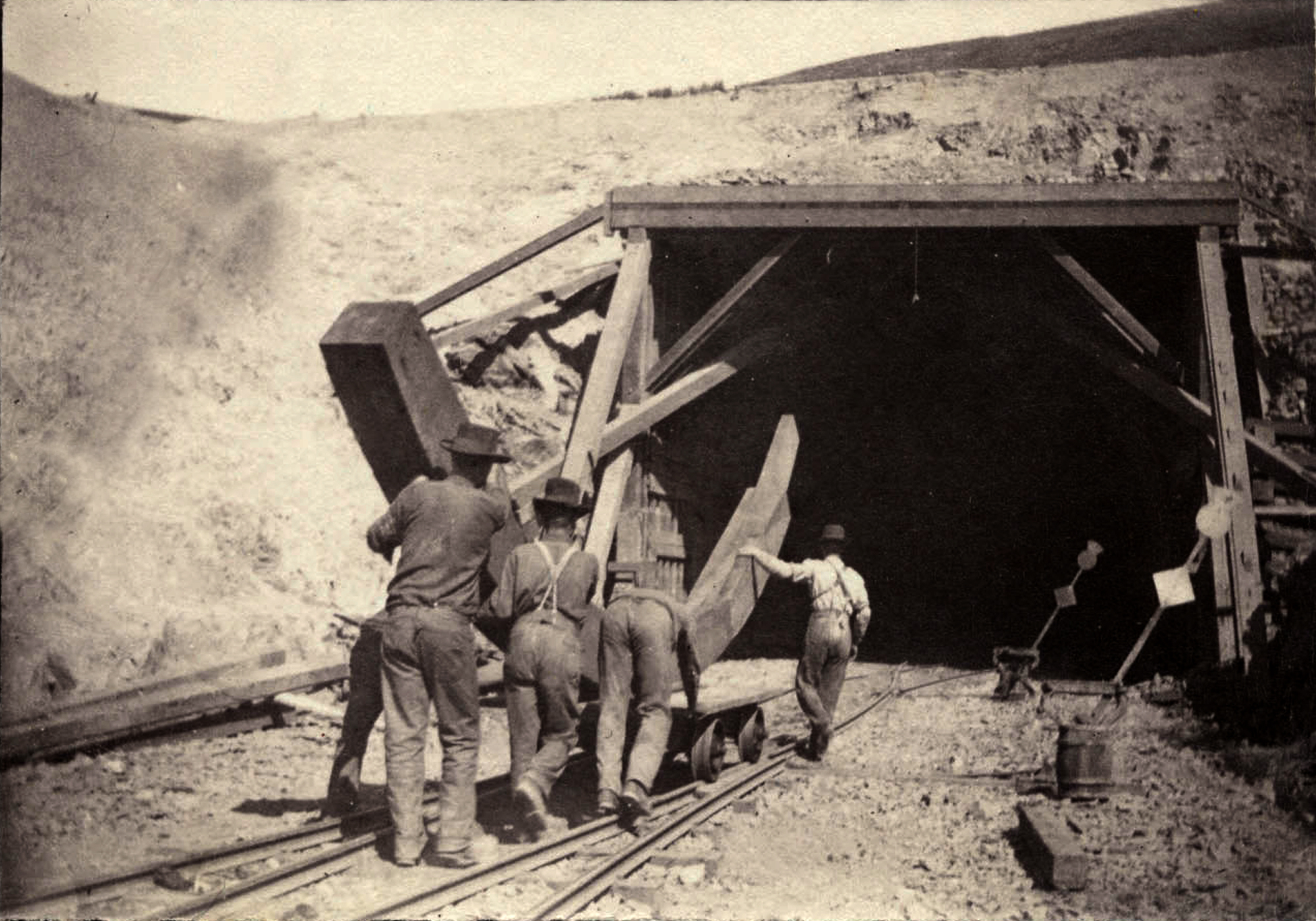
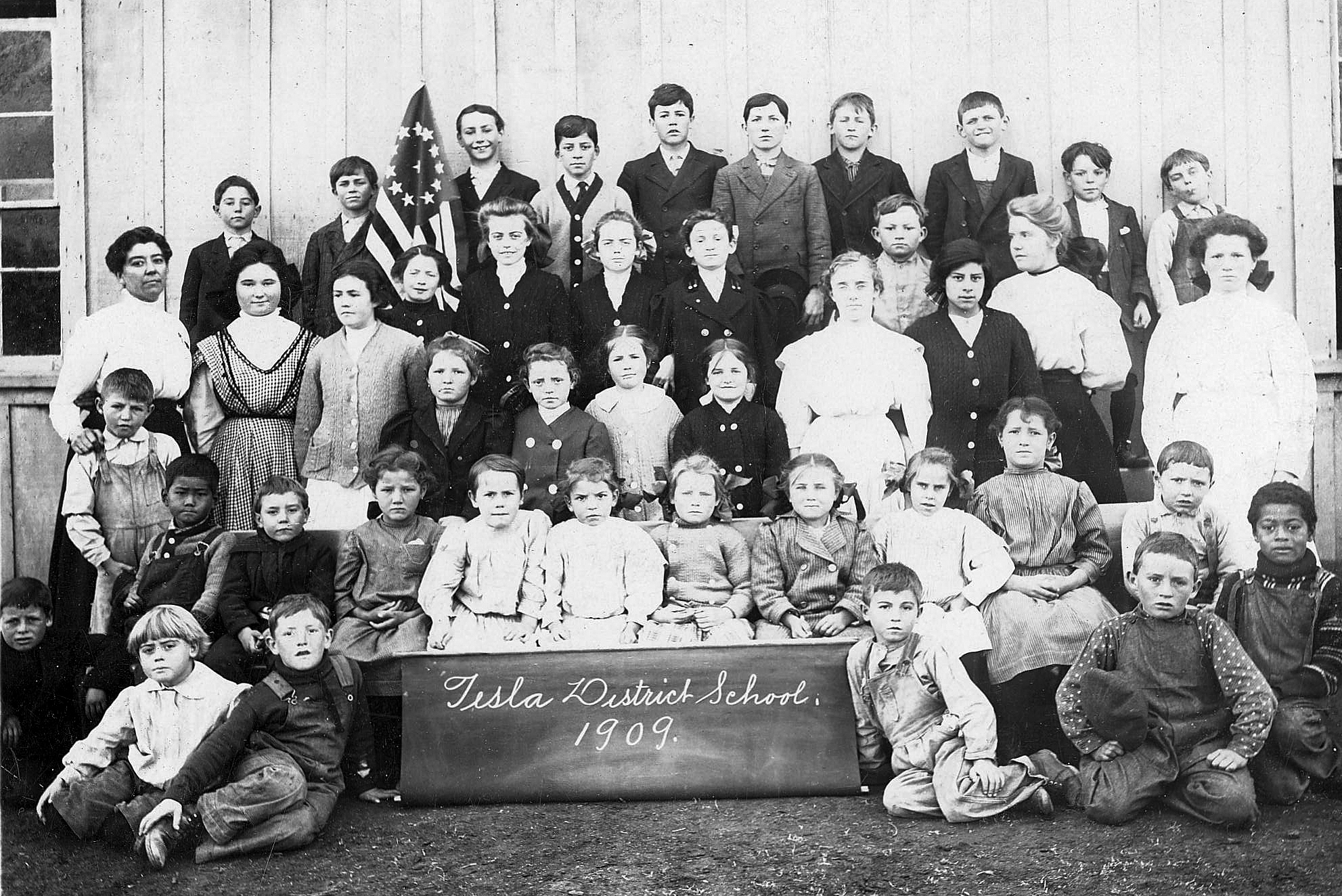
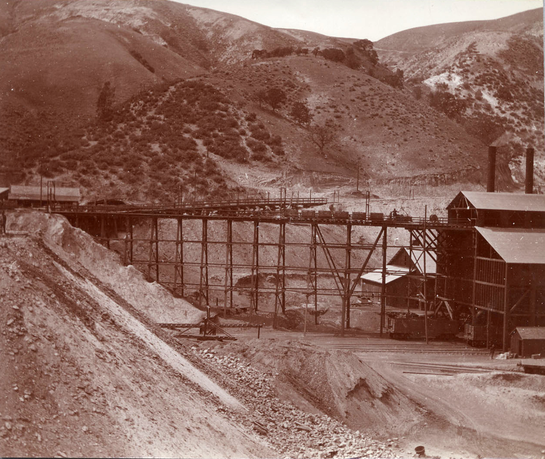
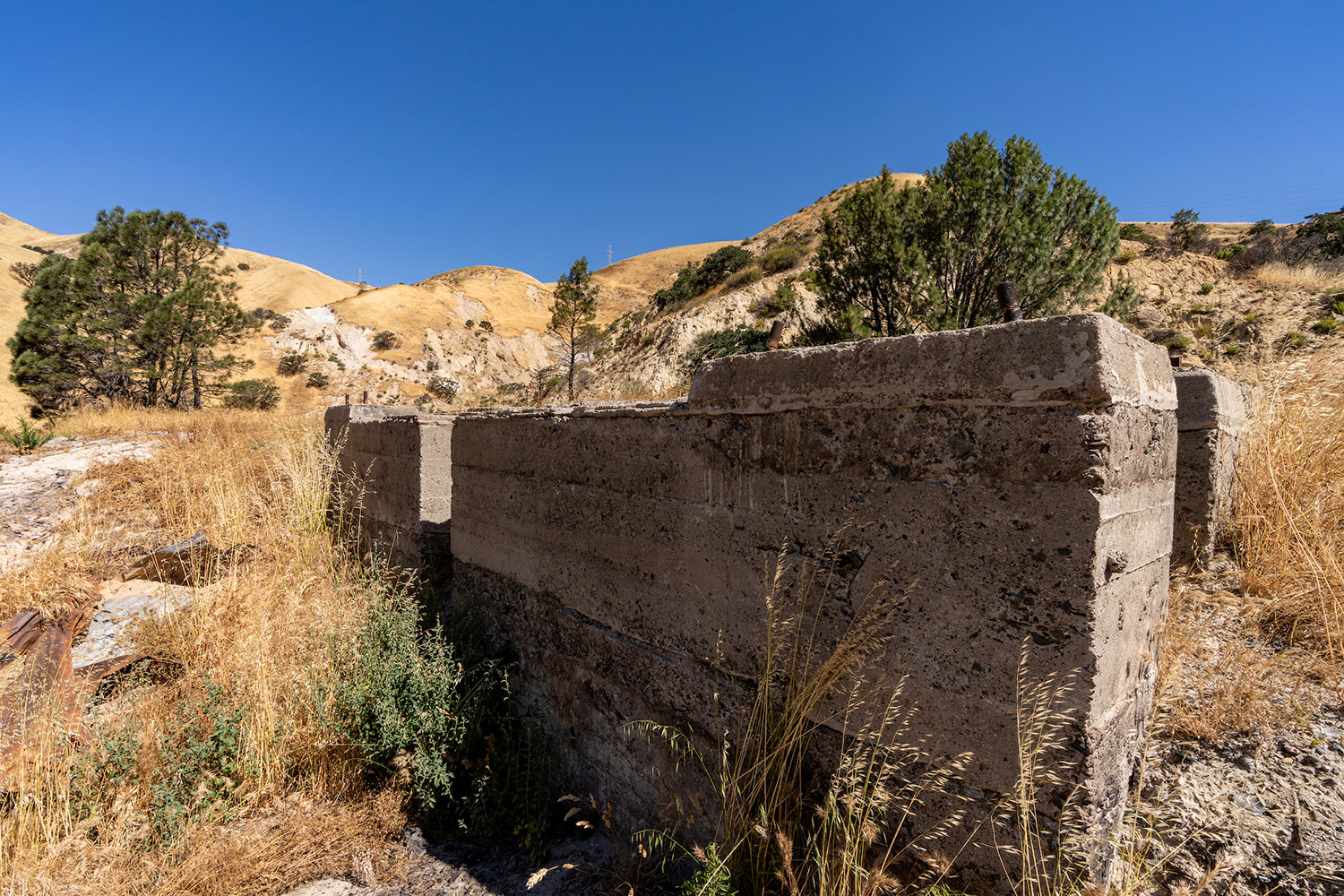
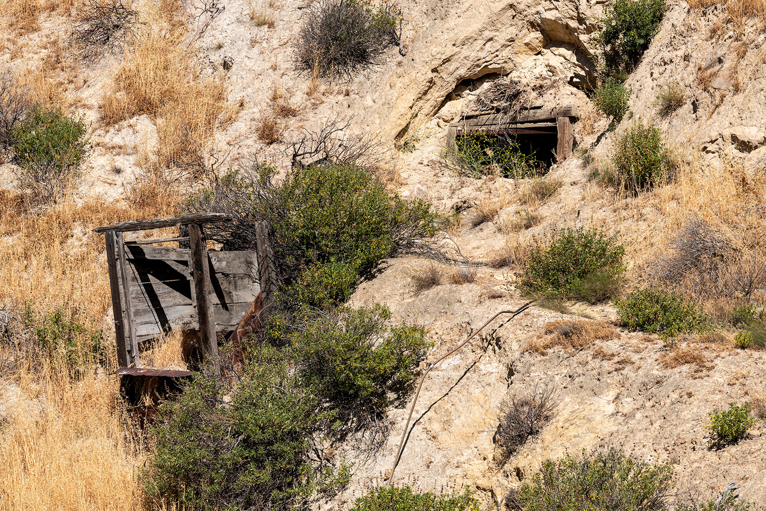
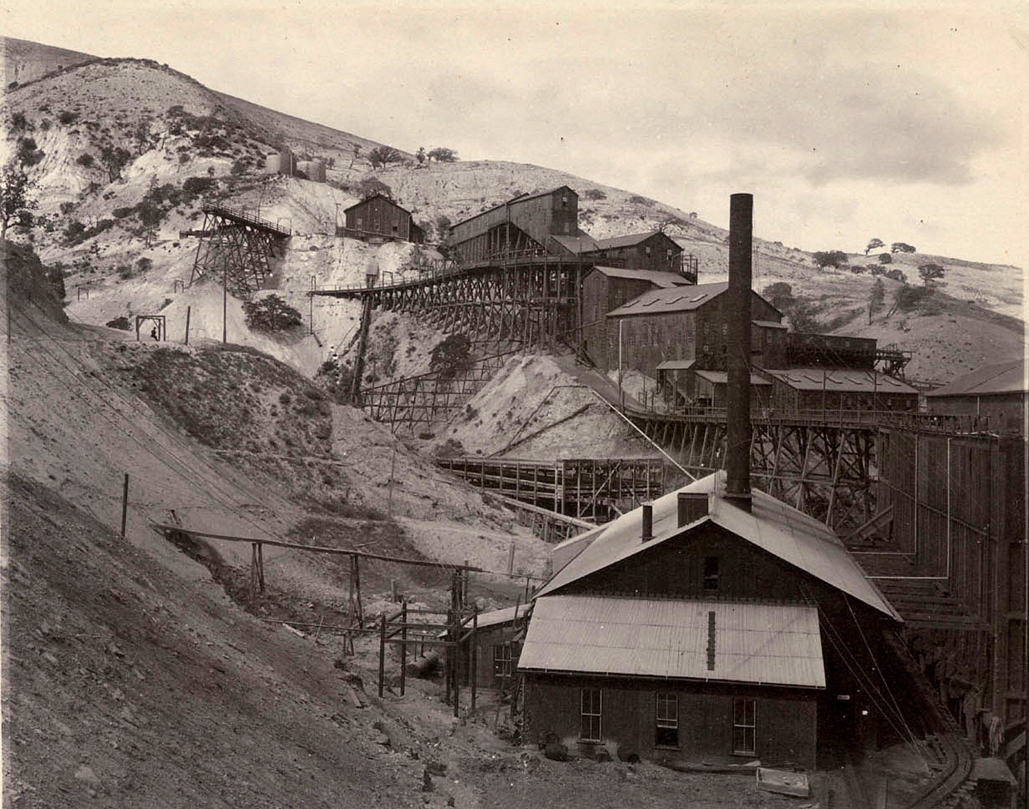
Mining of coal deposits stretched across 6 miles of Corral Hollow Valley. Other active industries during this time included clay, coal, sand, and manganese mining, industrial brick and pottery operations, lime kilns, gravel quarries, and a railroad company. The townsites of Tesla, Jimtown, Frytown Treadwell Row, and Harrietville were developed and supported 3,500 inhabitants with a post office, company store, hotels, and saloons.
The Tesla Era ended after a series of floods, fires, an explosion, and financial catastrophe destroyed many buildings and led to the abandonment of the towns and industrial activities. During this time ranching transitioned from sheep to cattle.
Several attempts to continue mining for sand, clay, or gravel had minimal success during this time. Cattle ranching remained the dominant economic activity in the area.
The San Francisco Public Utilities Commission constructed a 28.5-mile-long tunnel through the Coast Range mountains to bring water from Hetch Hetchy to San Francisco. Waste rock from the tunneling work near the southern boundary of the Alameda-Tesla Property was dumped into Mitchel Ravine during this time and is still visible on site. The transmission line built during this time continues to deliver hydroelectric power to Pacific Gas & electric customers.
Cattle ranching continued on the Alameda-Tesla property until it was acquired by State Parks in 1998. Ranching continues as an economic pursuit on privately owned lands surrounding the Alameda-Tesla property.

